KUTHUPARAMBA
Kuthuparamba – Thalassery Taluk – Kannur District – Kerala
Located – 11.83* N – 75.58*E
Kuthuparamba Municipal Area – 16.76 Sq.km.
Electoral Wards : 28
Assembly Constituency : Kuthuparamba
Lok Sabha Constituency : Vatakara.
Nearest Railway Station: Thalassery (14km.)
Nearest Municipalities: Thalassery, Mattanur, Kannur.
Bus Route to: Thalassery, Kannur, Kottiyoor, Mananthawadi, Mysore
Population
1991
Male - 13806
Female - 15101
Total - 28907
M/F Ratio - 1000:1094
2001
Male - 13898
Female - 15634
Total - 29532
M/F Ratio - 47:53
Density of population:1724 per sq.km. (2001)
Literacy
1991
Male - 96.85%
Female - 91.6%
Total - 94%
2001
Male - 98.37%
Female - 93.44%
Total - 95.74%
National Average: 59.5% (2001)
Boundaries:-
East : Chittariparamba Grama Panchayat
South: Pattiam Grama Panchayat
West : Kottayam Grama Panchayat
North : Mangattidam Grama Panchayat
Geographical Features:-
Kuthuparamba Municipality is involved in middle land. No coastal line and high land peculiarities are connected with Kuthuparamba. An important aspect that can be highlighted is the absence of a single river flowing through Kuthuparamba Municipal area.Granite and laterite are available in different area. Laterite soil is seen as common.
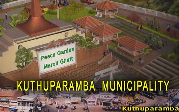
Monsoon is the main dependence for fresh water. Main sources of water is streams and ponds. Marolikkulam at Kuthuparamba, Chorakkulam at Ambilad, Panniora Ambalakkulam, Kalarikkavukulam are the main fresh water deposit in Kuthuparamba.
Coconut, arecanut, cashewnut, paddy, plantain, tapioca, pepper are the main crops. Since agriculture is not a profitable business or labour, people can be seen turning their heads to other fields. As a result, the area of paddy fields is decreasing substantially.
- C K Sreedharan & Associates
